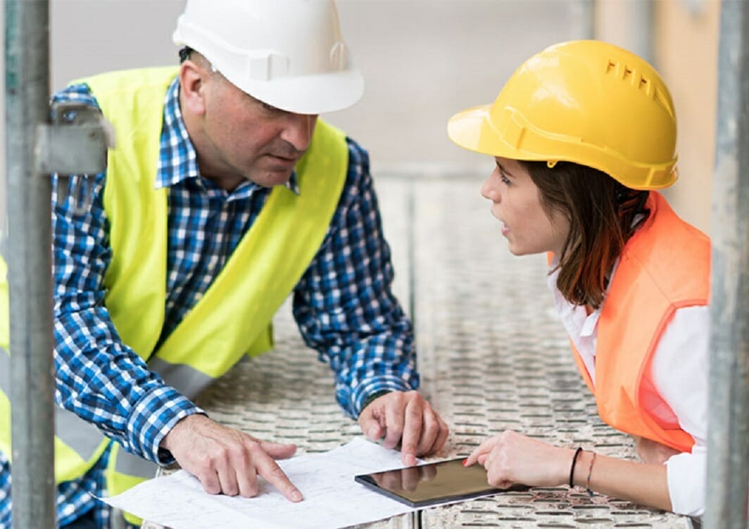


Landscape Architects


Tabletop RPGs are quite a fun experience. They let you make strategic decisions with an imagined environment, and let you decide the best moves to defeat your opponent by looking at all the different possibilities and narrowing the outcomes. However, this setup isn’t just useful for games- It can help solve real life problems too.
One example would be “Tangible Landscape”, an open-source modelling software that allows landscape architects to simulate a section of land in an Augmented Reality-esque style, and create and modify it to see what will happen. This could be pretty useful for researchers, as it was once used to control the spread of the sudden oak death disease that impairs and kills oak trees.

Source: Entrepreneur
Tangible landscape was created and developed at North Carolina State University by landscape architect Brendan Harmon, associate director of geovisualization Helena Mitasova, and statistician and geographic information system (GIS) programmer Francisco Tonini.
Using current map data and drones to create new map data, the system would create a miniature replica of an area of interest. A projector would then overlay data on top of the replica, and can include things like tree density, water flow, and past wildfire paths. Small wooden pegs are then placed on top of the replica to represent waymarks or new areas of development.
For example, if a researcher is interested about changes in tree density, then they can use gestures on the replica to create values instantly, which will then be sent to the simulation program to model what would happen. While the models aren’t 100 percent accurate yet, they do give a very close guess.
“One surprising thing is how different kind of people interact differently with the model,” says Mitasova. “Some people don’t understand that they can change everything about the area or move the parts around. It’s really like sketching in three dimensions, though.”
Source: Youtube, NCSU GeoForAll Lab
Mitasova and Harmon have thus promoted Tangible Landscape to great interest, and they hope to improve the technology so that architects and city planners can use this software to simulate how changes in the environment, like rising water levels, can affect different structures or natural environments.
Article Sources: